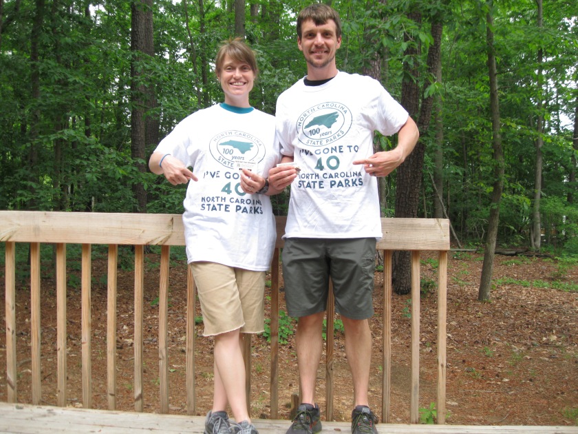
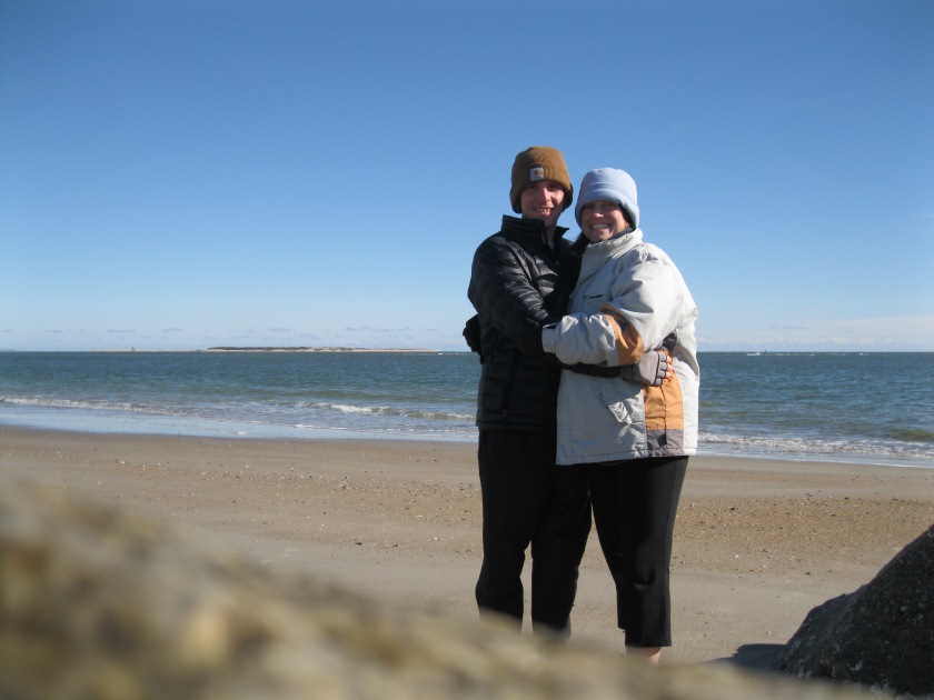
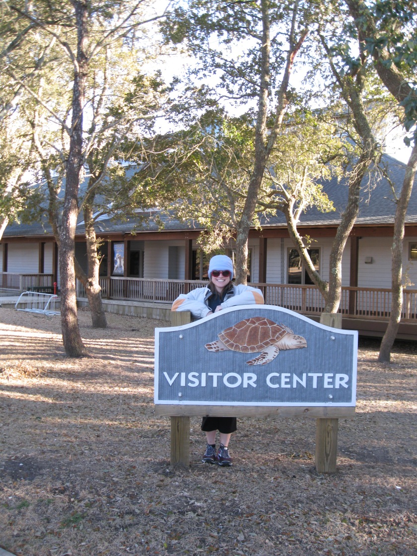
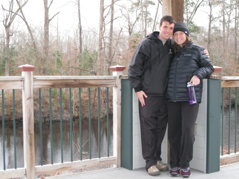
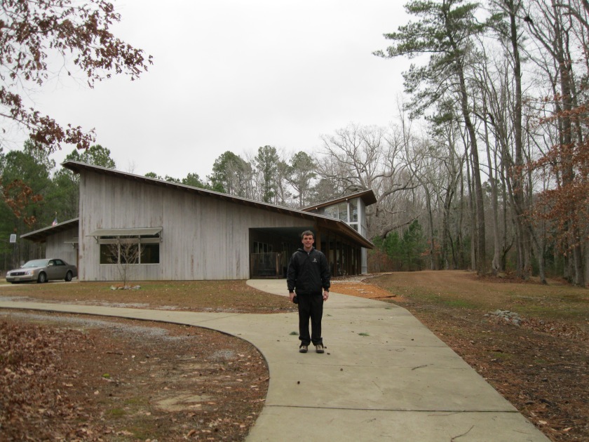
It’s hard to believe that this will be my final post for my state park blog. I will try to recap our experiences but I will surely fall short. During this journey, we conceived and lost our precious daughter Mamie Laine Davis who is truly missed and lives on in our hearts. Rebecca’s employer donated money to the NC State Park system in honor of Mamie. We saw friends we had not seen in years and we visited towns and communities in our great state we never heard of. We met some of the kindest people and heard different southern dialects.
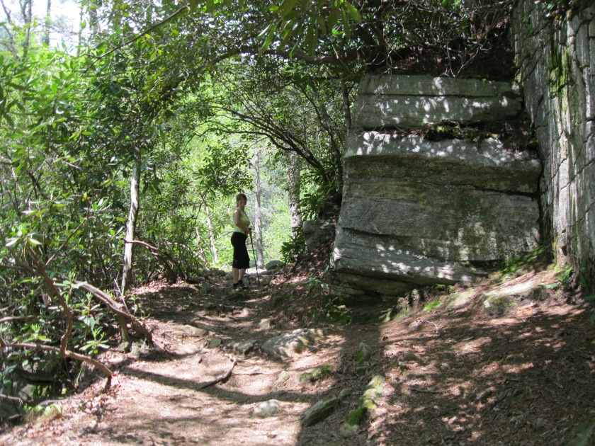
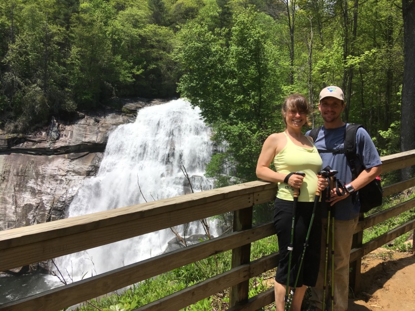
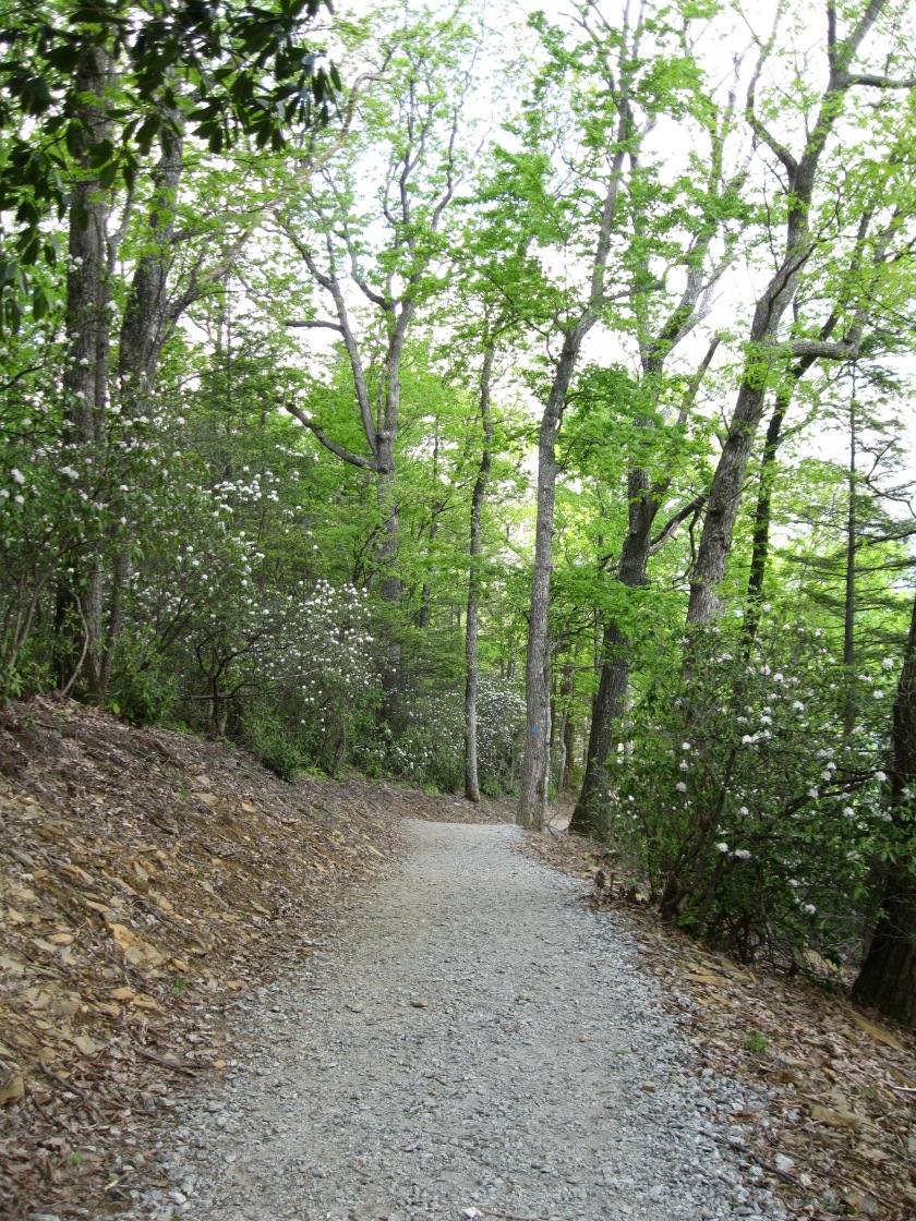
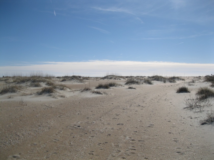
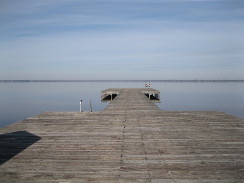
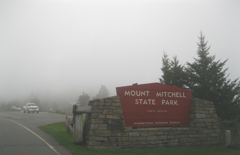
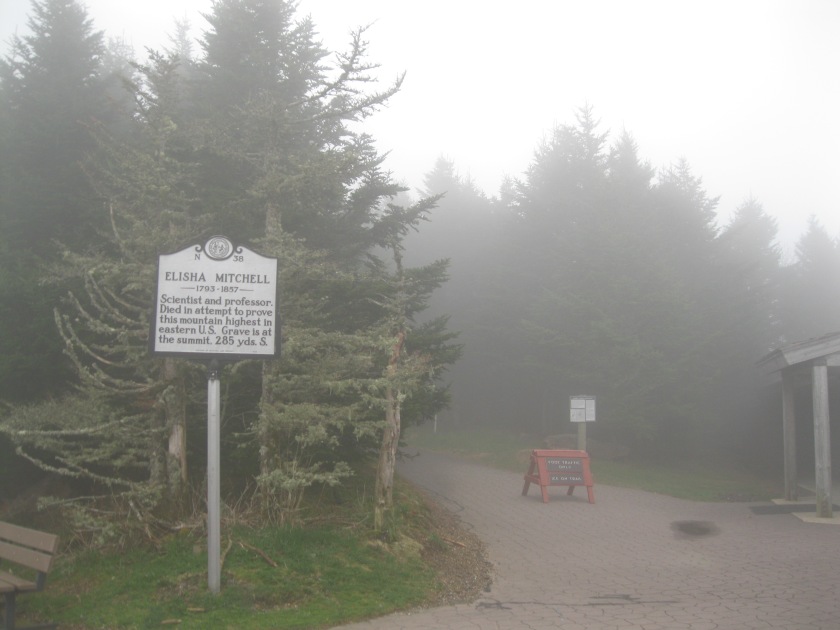
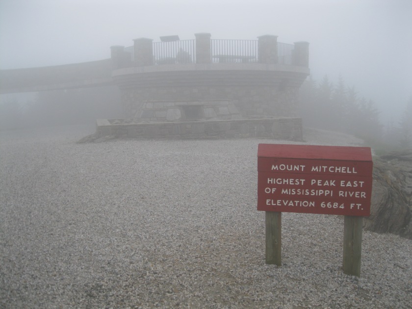
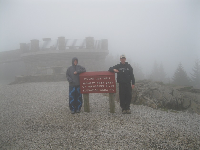
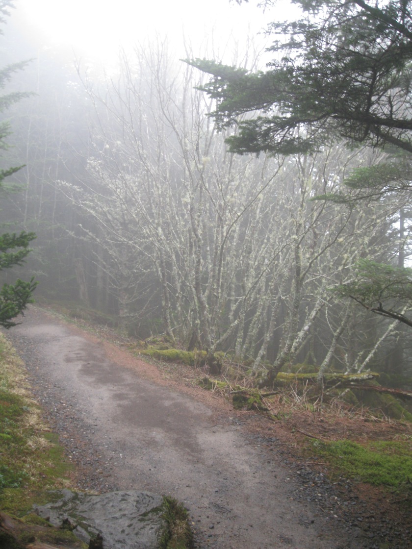
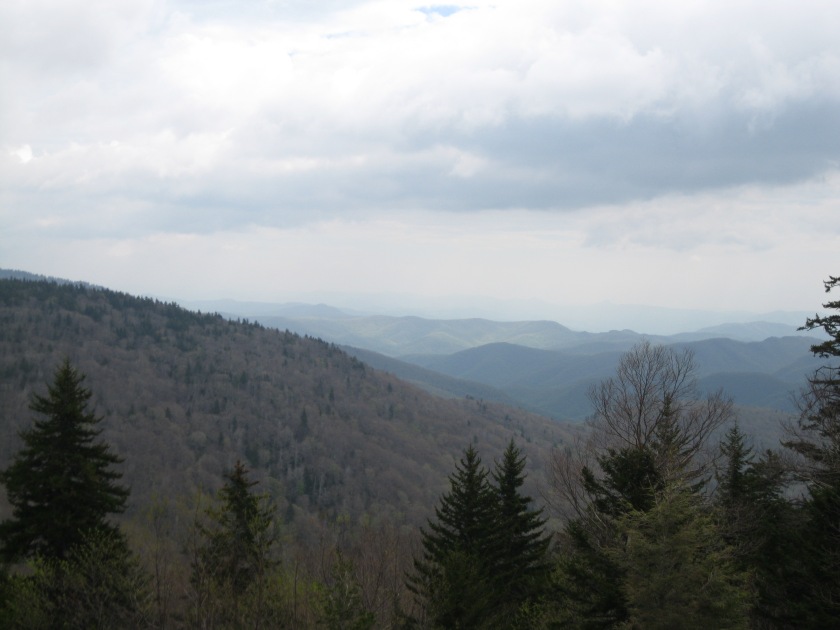
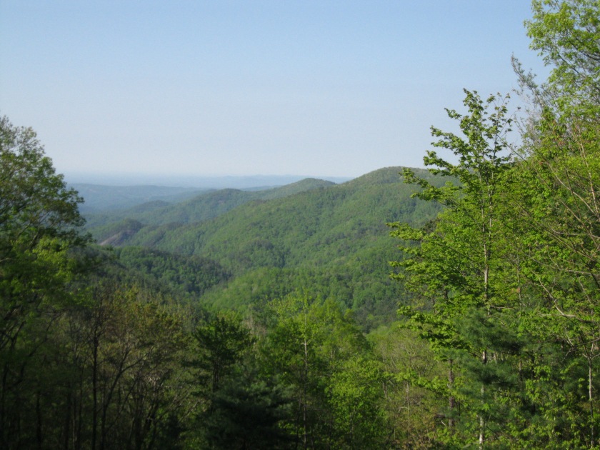
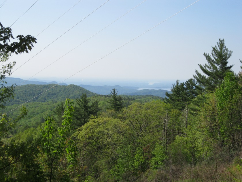
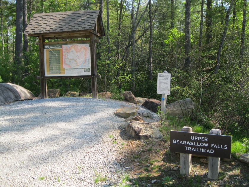
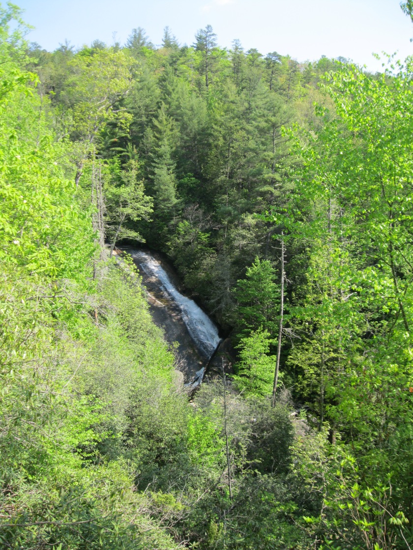
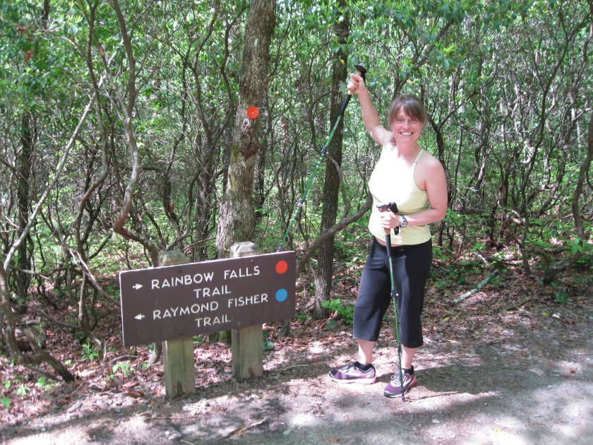
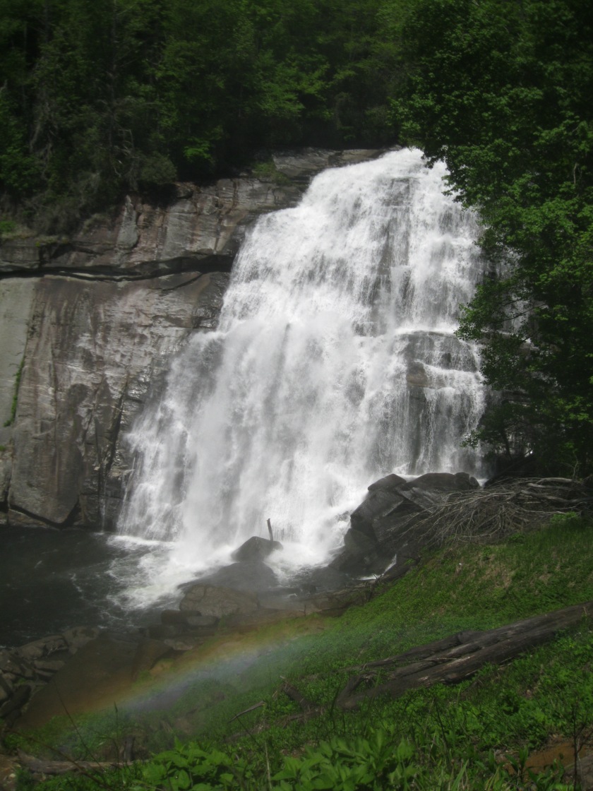
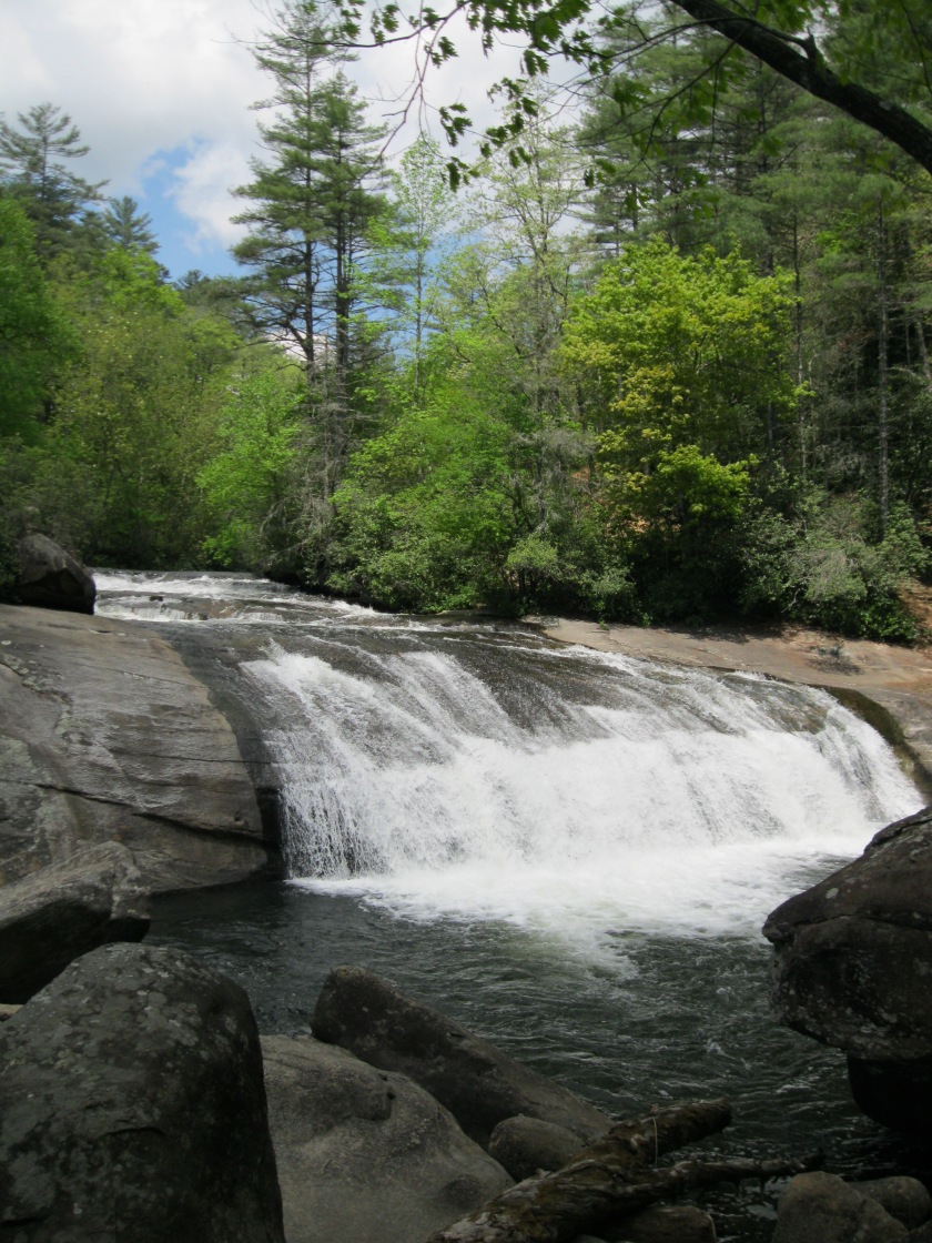
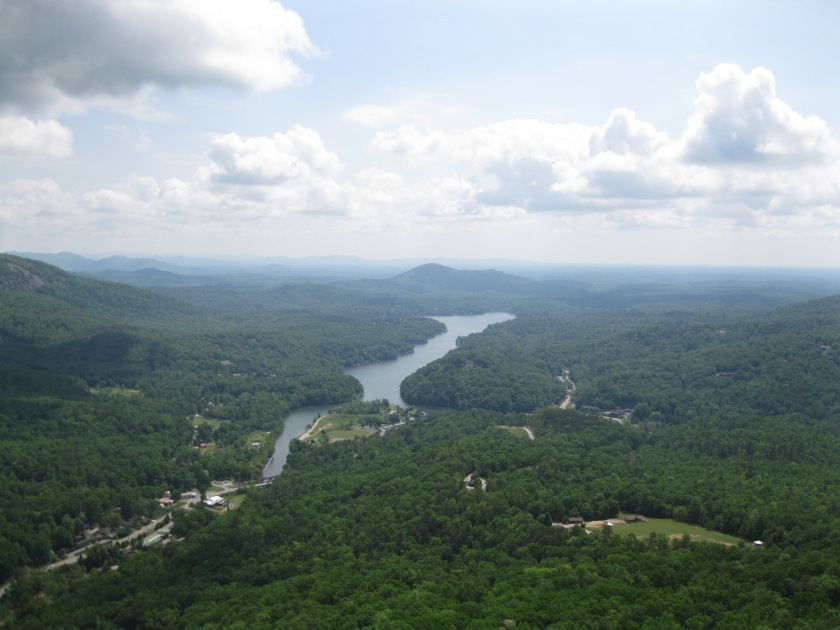
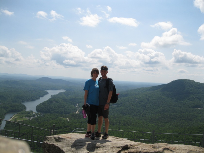
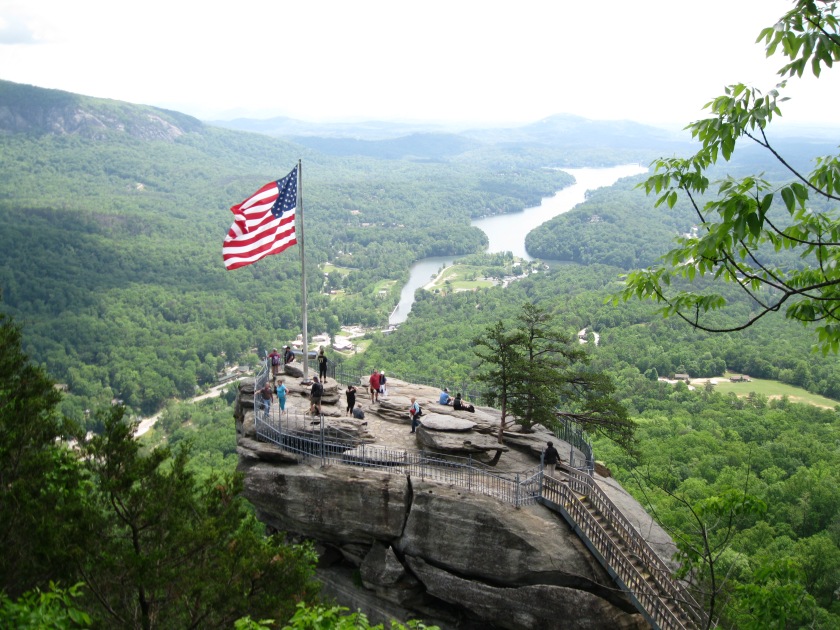
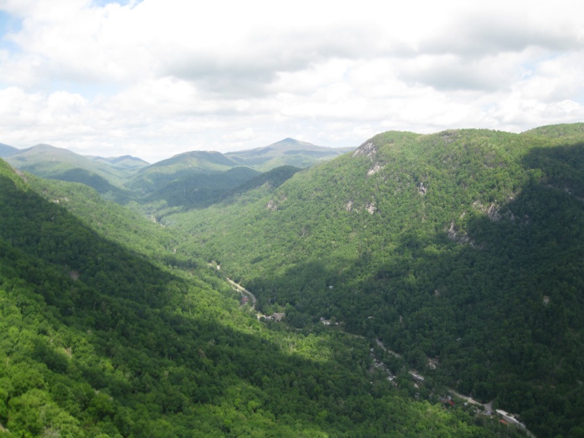
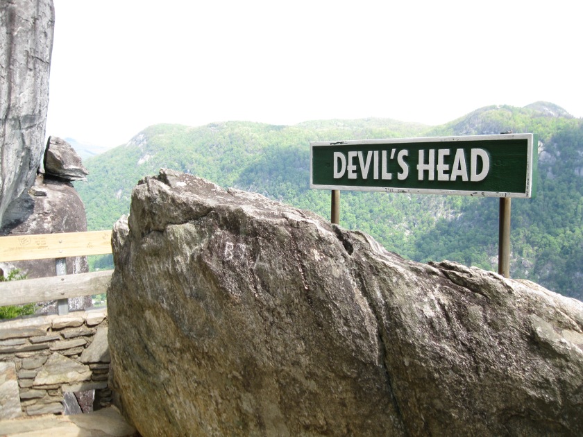
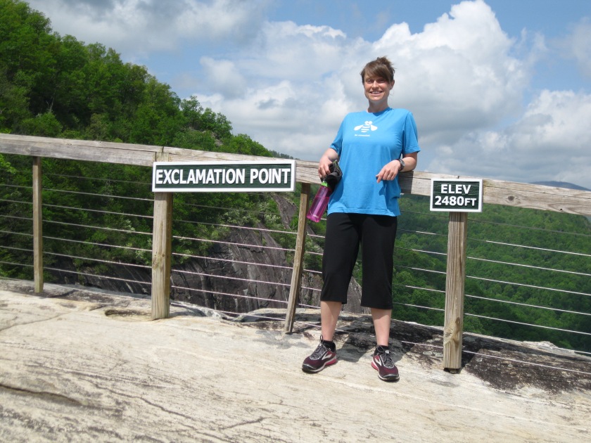
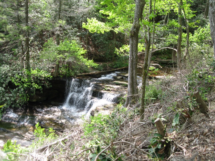
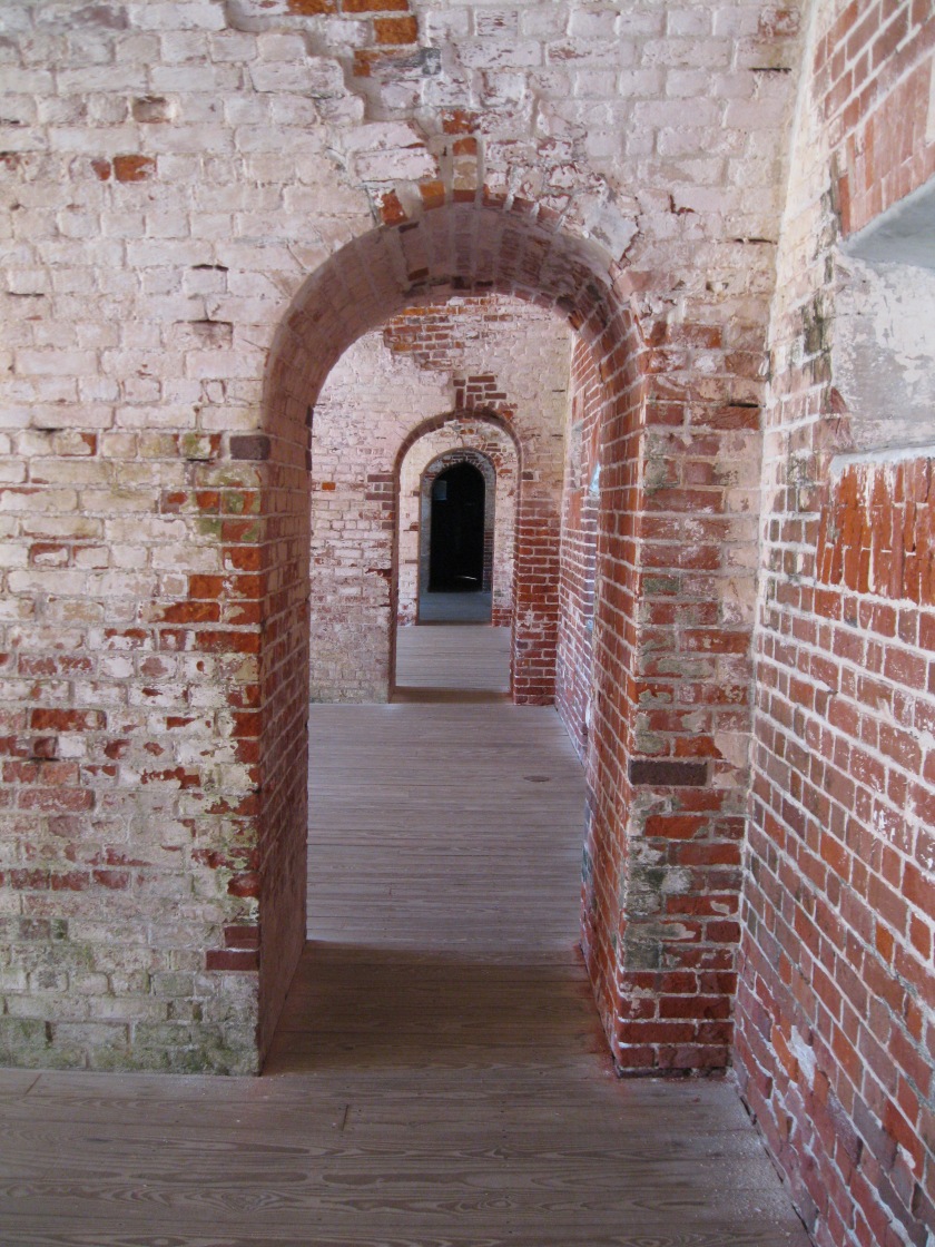
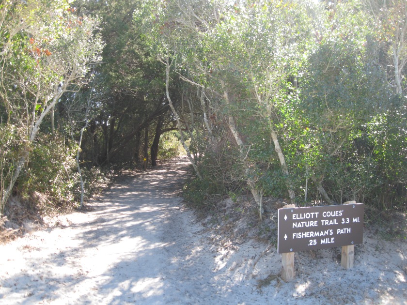
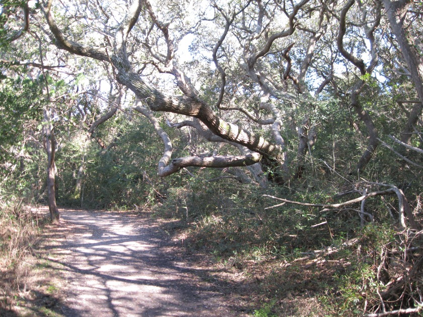
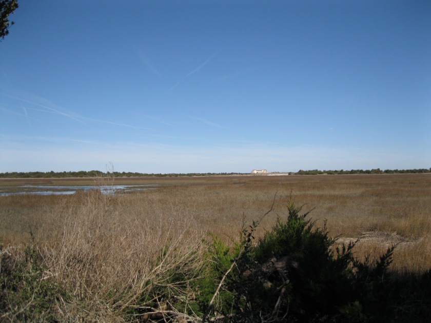
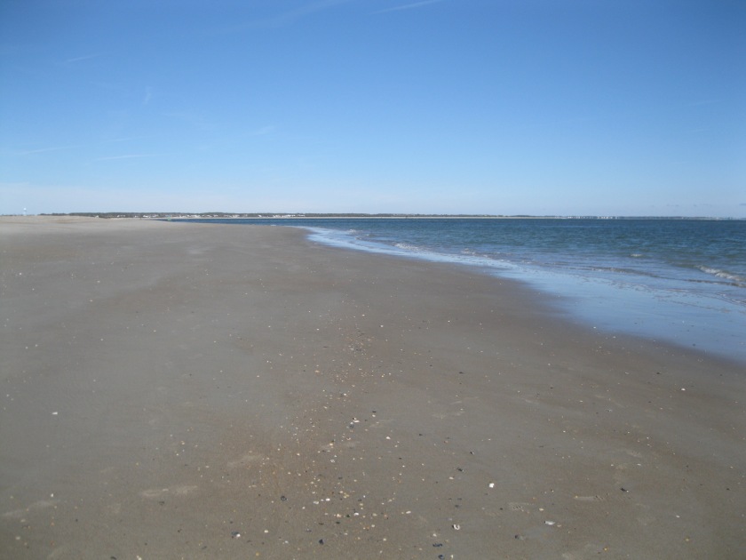
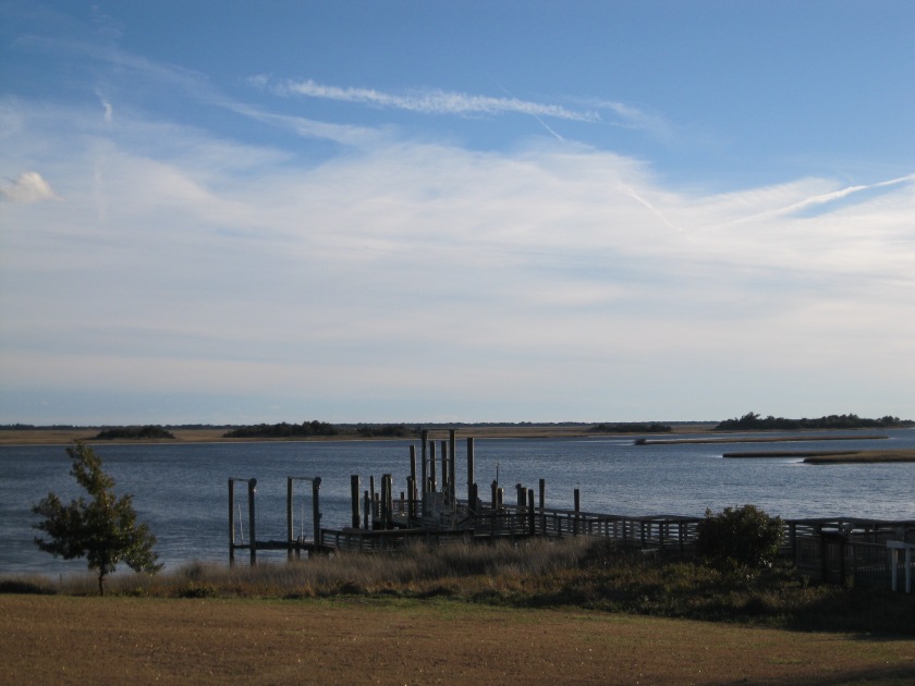
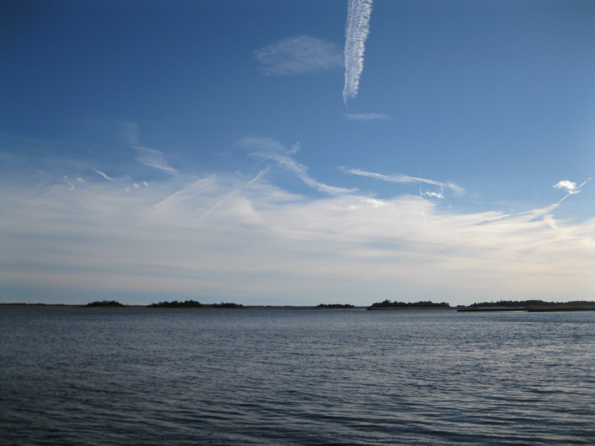
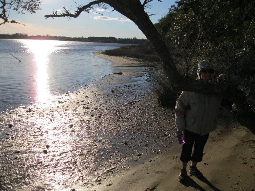
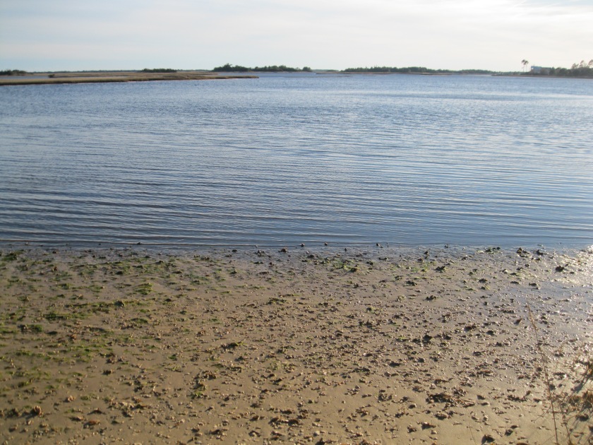
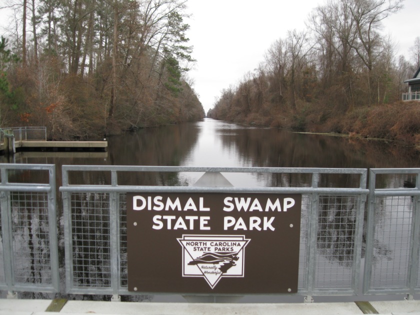
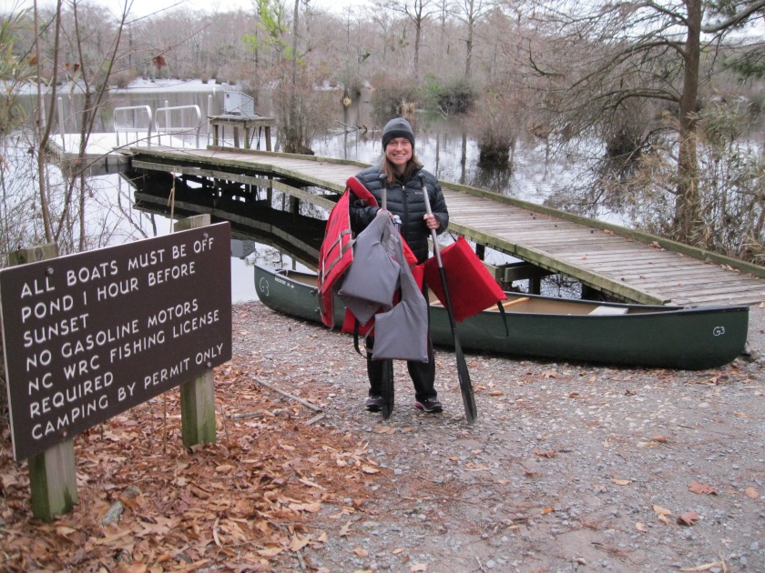
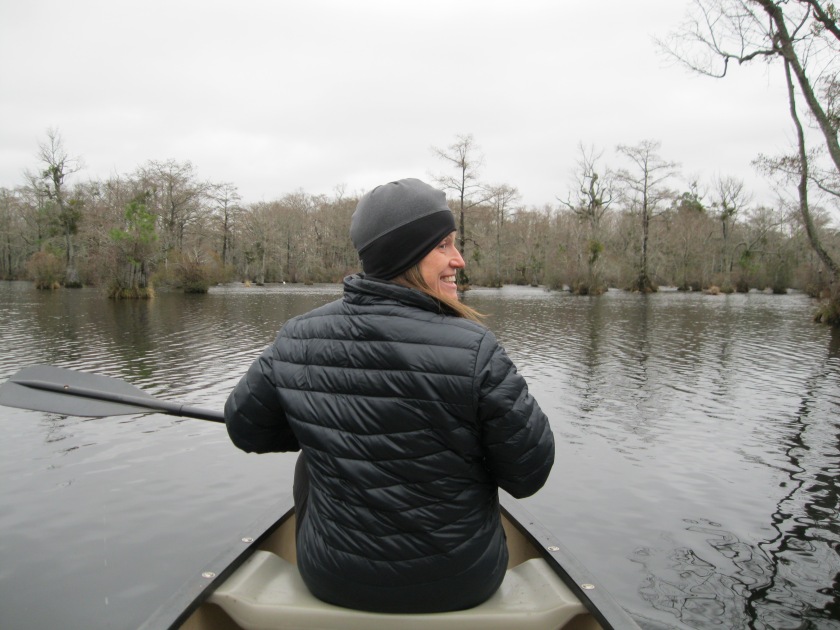
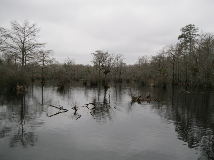
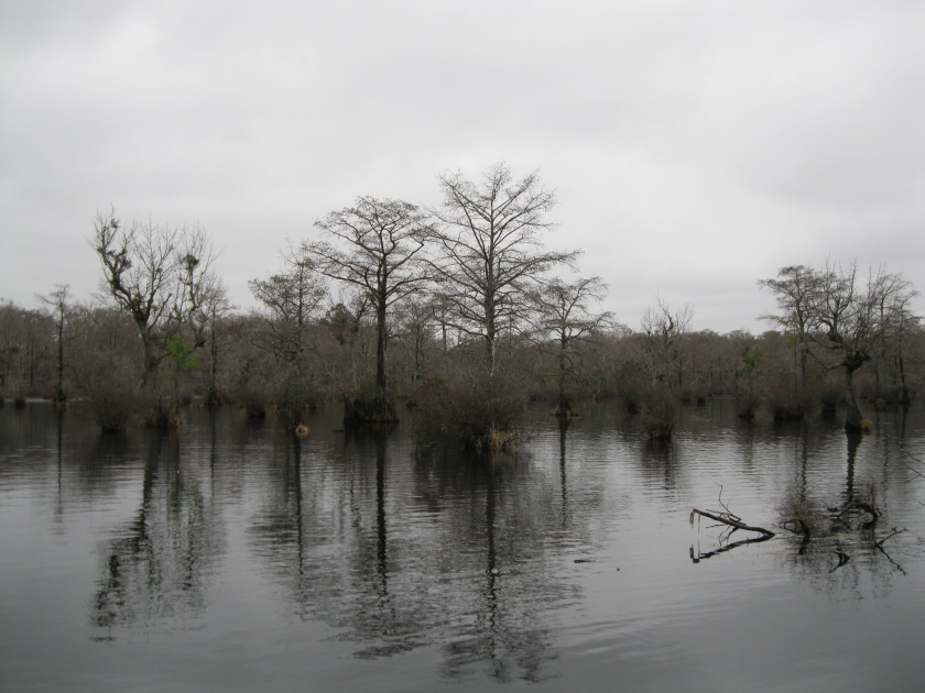
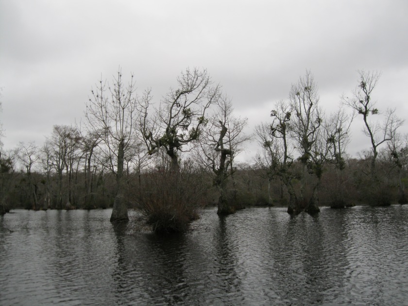
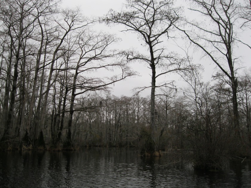
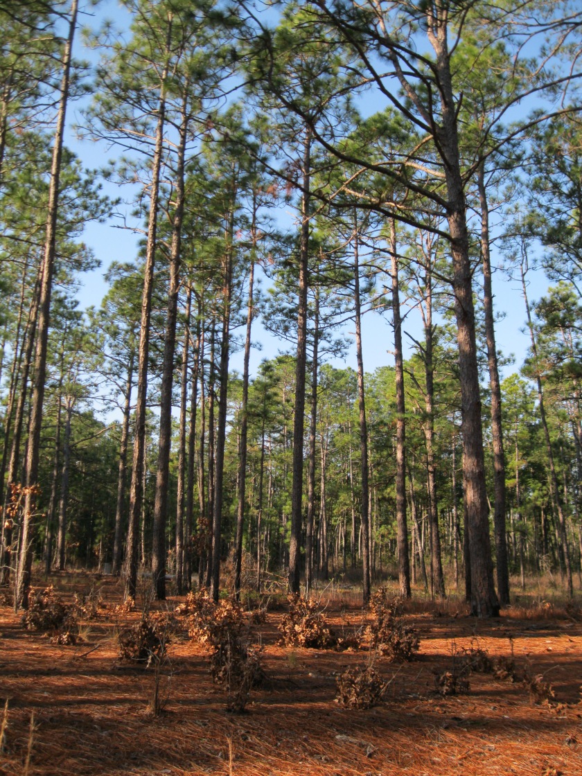
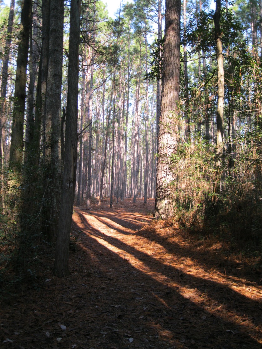
We saw a variety of wildife like eastern chipmunks at Gorges, white-tailed deer at Lake Waccamaw, blue crabs at Fort Fisher, an eastern box turtle at Morrow Mountain, osprey at Lake Norman, and a luna moth at Pilot Mountain. We saw the oldest living longleaf pine tree at Weymouth Woods and viewed carnivorous plants at Carolina Beach. We experienced mostly pleasant weather with the exception of heavy clouds at Mount Mitchell, rain while canoeing at Merchant’s Millpond, and a severe thunderstorm with a waterspout at Jockey’s Ridge. We saw breathtaking waterfalls at Hanging Rock, South Mountains, and Gorges. We saw beautiful mountain vistas at Chimney Rock, Mount Jefferson, and Elk Knob. We experienced our favorite and most challenging trail at Grandfather Mountain and explored beautiful beaches with maritime forests along the coast.
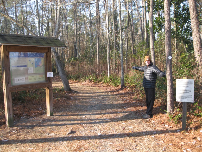
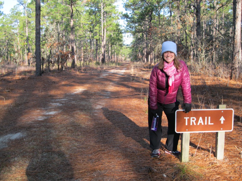
Each park had it’s unique qualities that I appreciated. It felt like an accomplishment to visit each of them. I’ve decided to rank my top three favorite parks for each region for the casual visitor who wants to get outside and explore. My ranking is based mostly on scenery and recreational amenities offered. Please know that there were a lot more that I really enjoyed but I wanted to at least share some of my favorites.
Favorite Coastal Parks
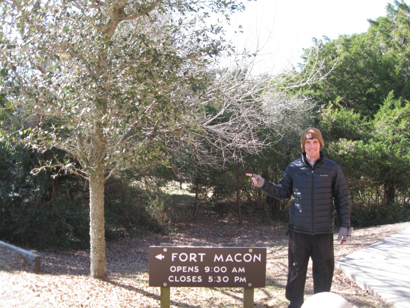
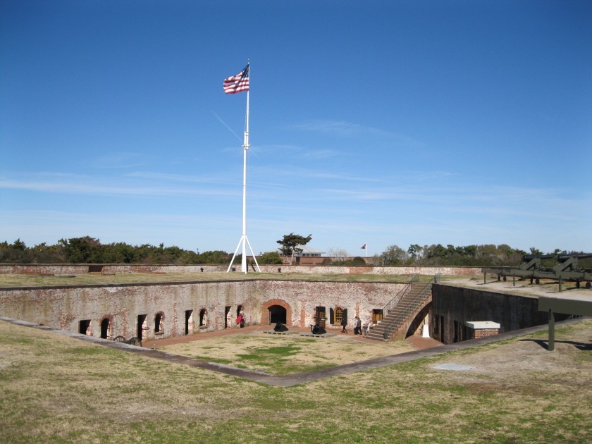
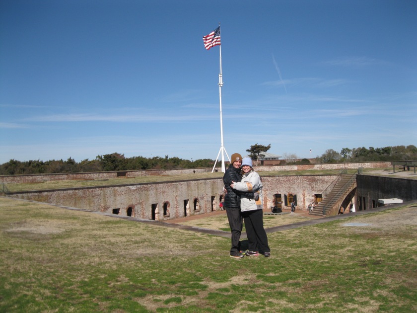
- Fort Macon
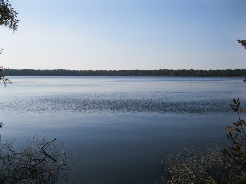
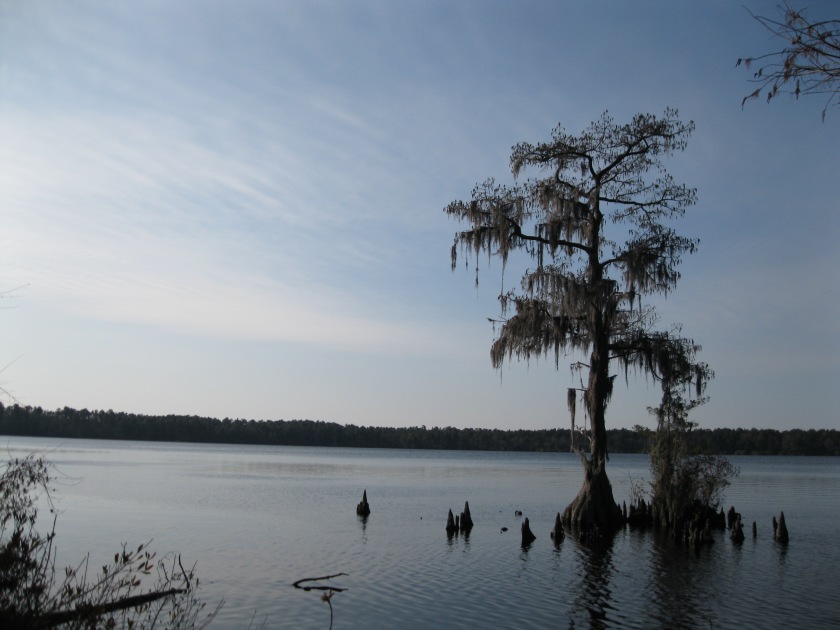
- Lake Waccamaw
- Jockey’s Ridge
Favorite Piedmont Parks
- William B. Umstead
- Raven Rock
- Haw River
Favorite Mountain Parks
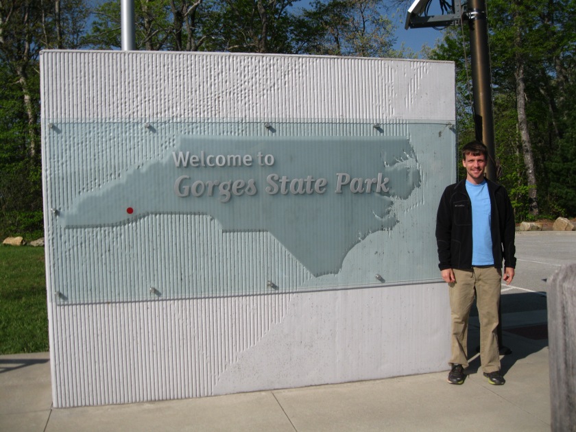
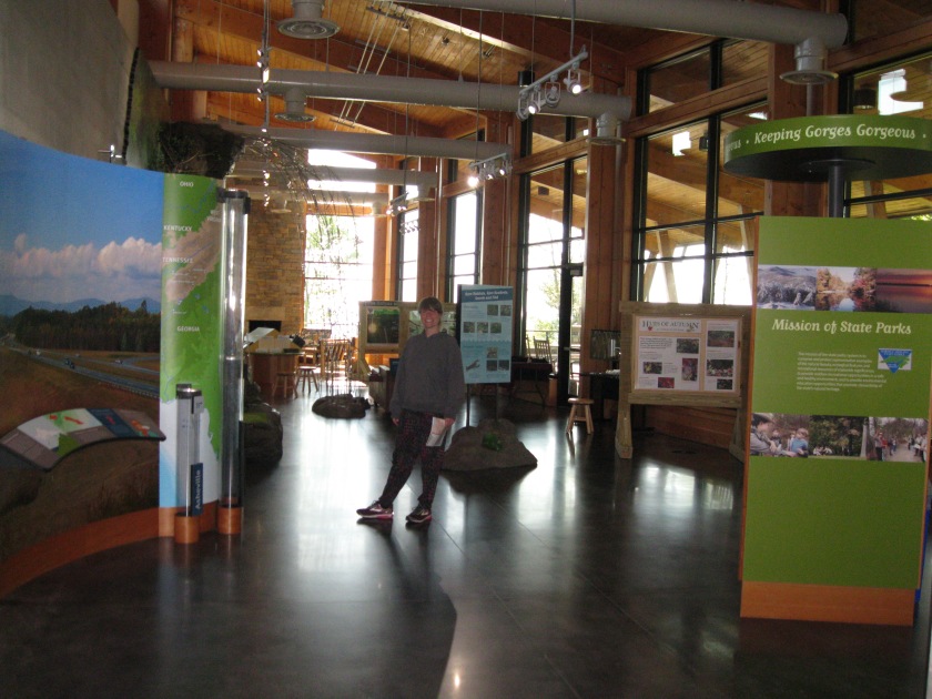
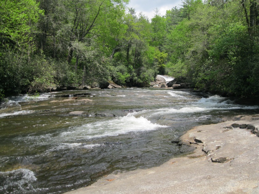
- Gorges
- Pilot Mountain
- Hanging Rock